|
|
|
Sep 16, 2024
|
|
2024-2025 Undergraduate Catalog
Geospatial Intelligence Minor
|
|

 
Program Coordinator/Contact
Bob Watrel, Department Head
Department of Geography and Geospatial Sciences
109 Wecota Hall
605-688-4511
Program Information
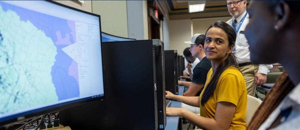
Geospatial Intelligence (GEOINT) is a broad field that encompasses the intersection of geospatial data with social, political, environmental, and numerous other factors. Geospatial Intelligence refers to the use of geospatial technologies to extract information for decision advantage in humanitarian response, strategic defense, security or investigative analysis. The Geospatial Intelligence Minor focuses on geospatial techniques (GIS, remote sensing, data management, etc.) and analytical courses from political science, history, geography, etc. to provide students with foundational knowledge for success in the GEOINT community. This minor will benefit students with an interest in a credential for working in national security, emergency management, or public safety careers.
Course Delivery Format
Coursework for the program is delivered in multiple formats including face-to-face lecture and online courses.
|
Student Learning Outcomes
Upon completion of the minor in Geospatial Intelligence, students will:
- recognize and interpret geospatial patterns to develop solutions for GEOINT problems.
- demonstrate competency in GIS and Remote Sensing tools and analyses.
- recognize the importance of the human domain in GEOINT.
- manage geospatial data and geovisualization.
Requirements for Geospatial Intelligence Minor: 18 Credits
Technical Electives
Select three credits from the following list. Credits: 3
Analytical Electives
Select six credits from the following list. Credits: 6
Total Required Credits: 18
|
|
|
|